Local press release
A ready-to-share introduction to the app and its Pike County connection.
Download text ↓Pike County, Ohio · Community & press kit
TouristApp is an independent iPhone app inspired by a longtime idea from Pike County: discover the interesting places we normally drive past. Neighbors, local history enthusiasts, and the tourism community are invited to help test the public beta and share feedback.
iPhone only · iOS 26 or later · Public beta · Honest feedback welcome, with no obligation to publish.
An invitation to the community
Try a nearby search in Waverly or Piketon, compare parks and history categories, or preview a Sunday drive. Local knowledge can help identify missing places, incomplete descriptions, and routes that need a closer look.
Possible testing themes include Pike Lake State Park, Lake White State Park, Pike State Forest, the Waverly Canal Historic District, and the mounds in Piketon. These are local examples, not a prebuilt itinerary or a guarantee of complete in-app listings.
Check current destination details with Visit Pike County’s outdoor guide and history guide. TouristApp is an independent project; no chamber, tourism bureau, or park endorsement is implied.
Easy to share
A ready-to-share introduction to the app and its Pike County connection.
Download text ↓A draft your mother-in-law can personalize and share with her contacts.
Download text ↓Short copy for a community update or social post.
Download text ↓A simple introduction, local testing ideas, and questions to gather useful feedback.
Download text ↓The story
My wife Jordan had wanted an app like this for a long time: a way to learn about the places we pass and find interesting stops along the way. I decided to bring her idea to life with TouristApp.
I’m building it for everyday outings as much as long road trips—whether you want to find a museum nearby or see where a free afternoon could take you.
— Derek, developer
At a glance
This is beta software. Coverage and photos vary by location. Drive-by categories do not guarantee roadside visibility. Detour times are estimates; new routes need an internet connection. Downloaded place information is not fully offline navigation.
Ready for your story
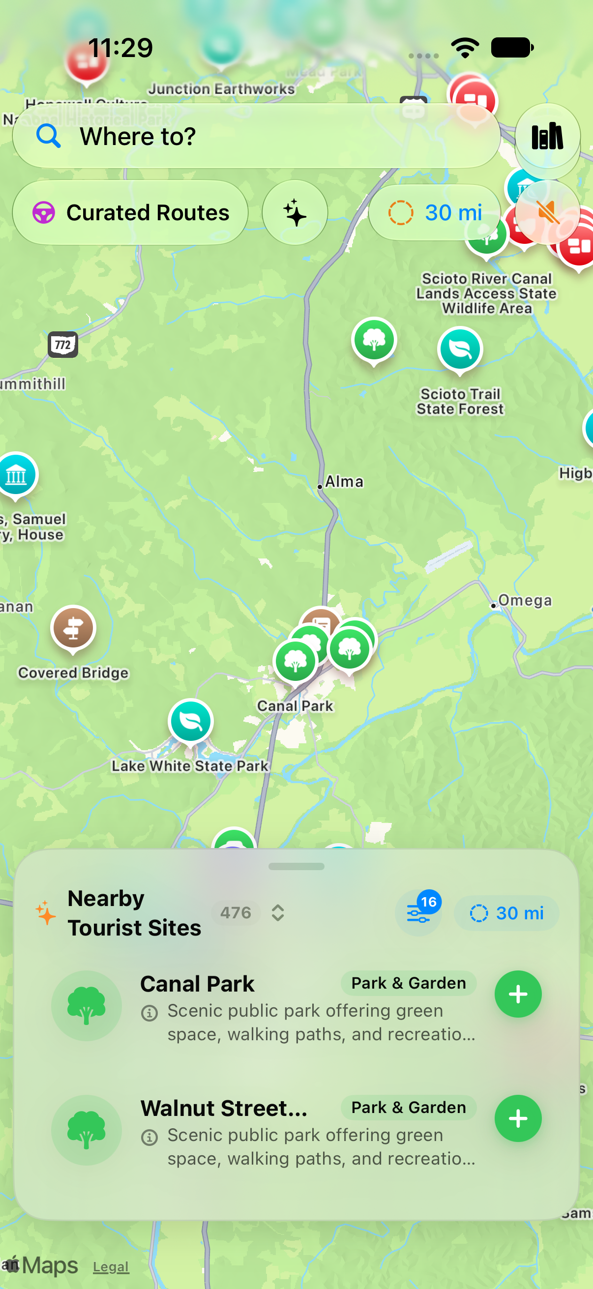
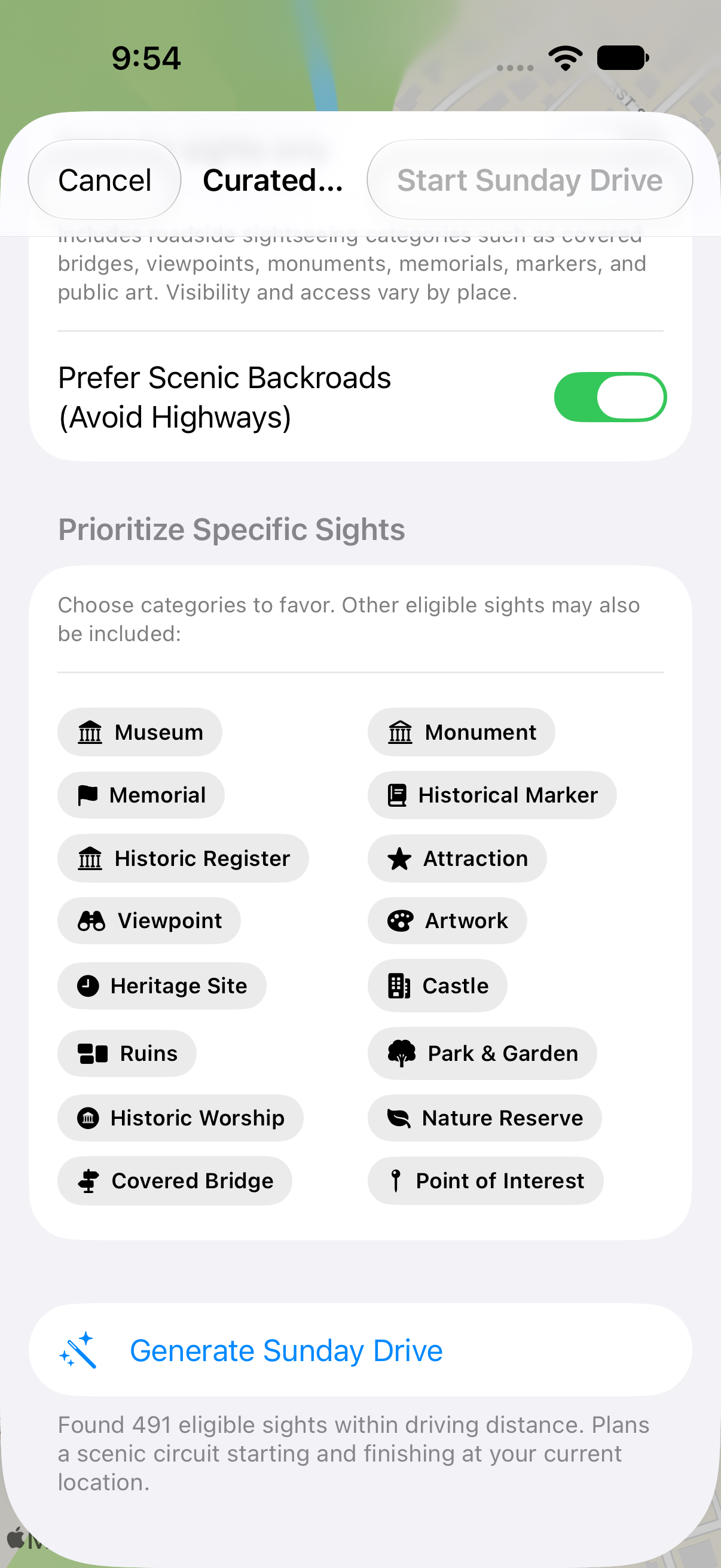
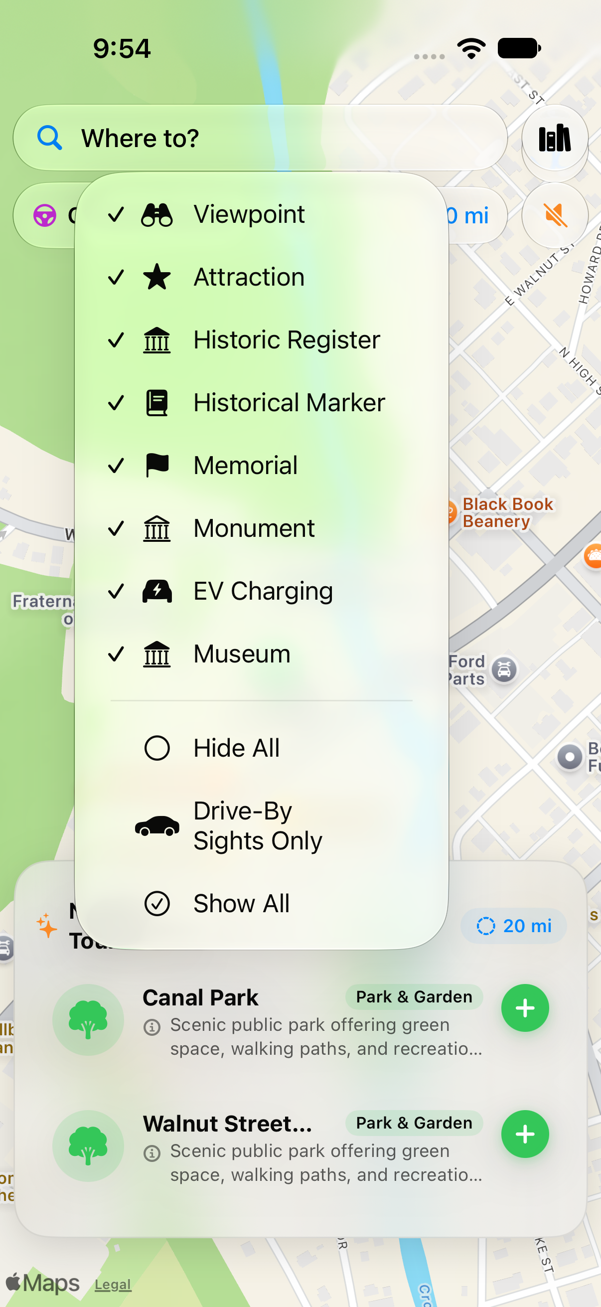
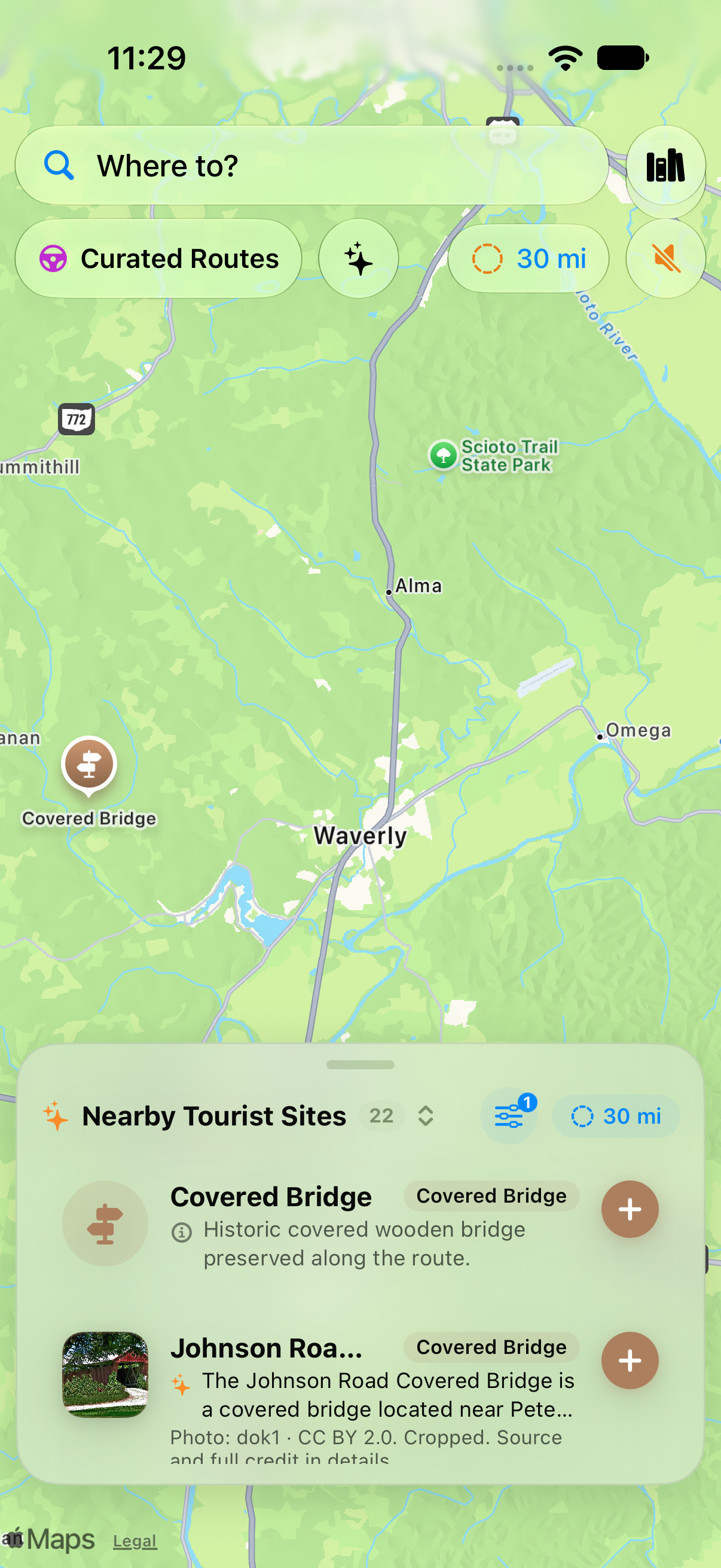
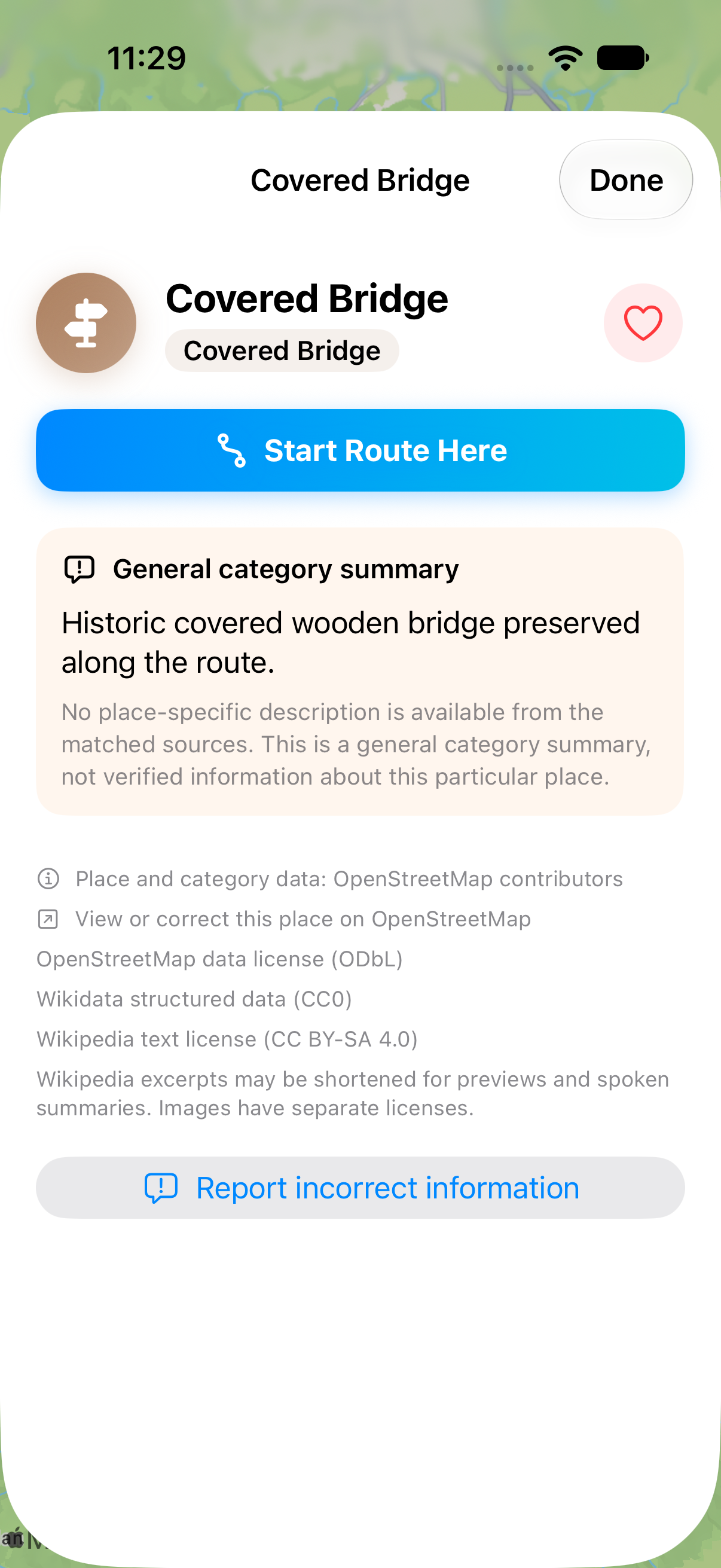
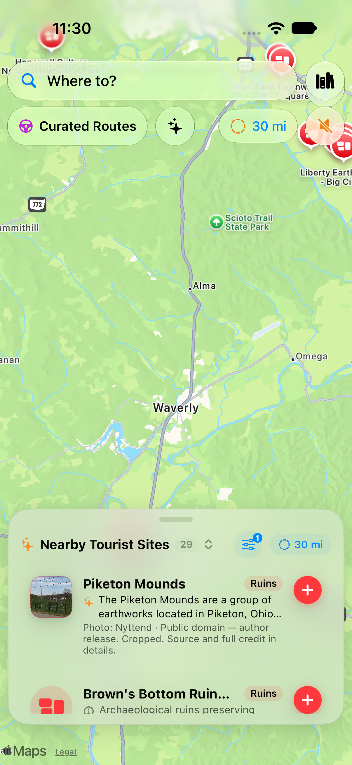
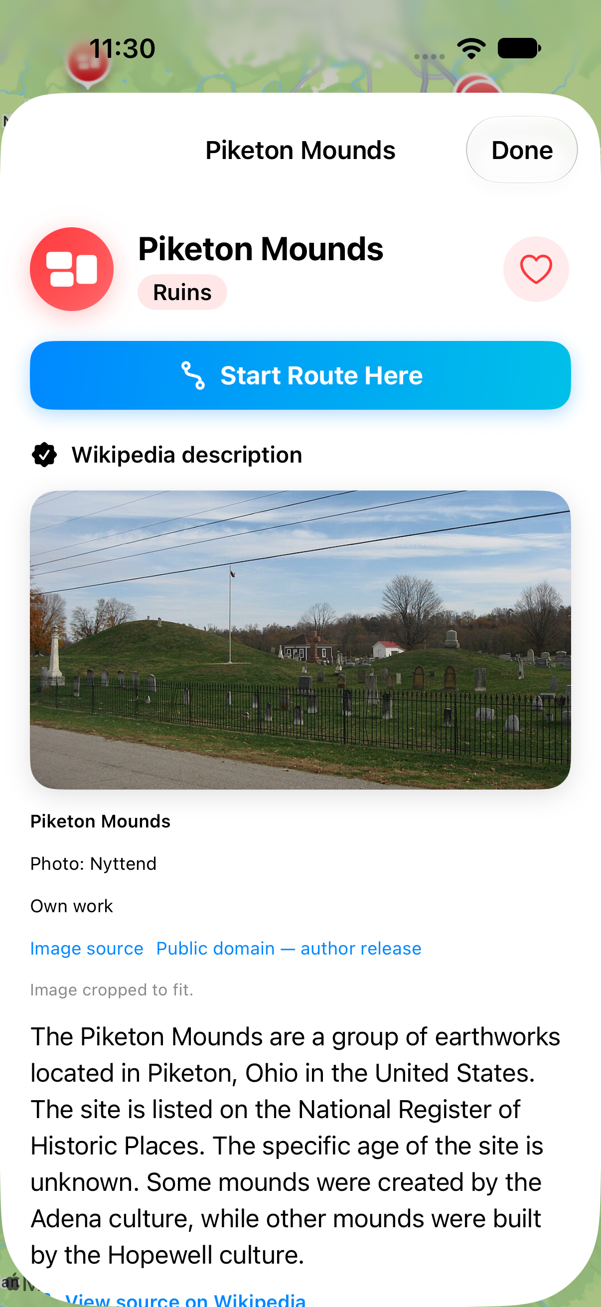
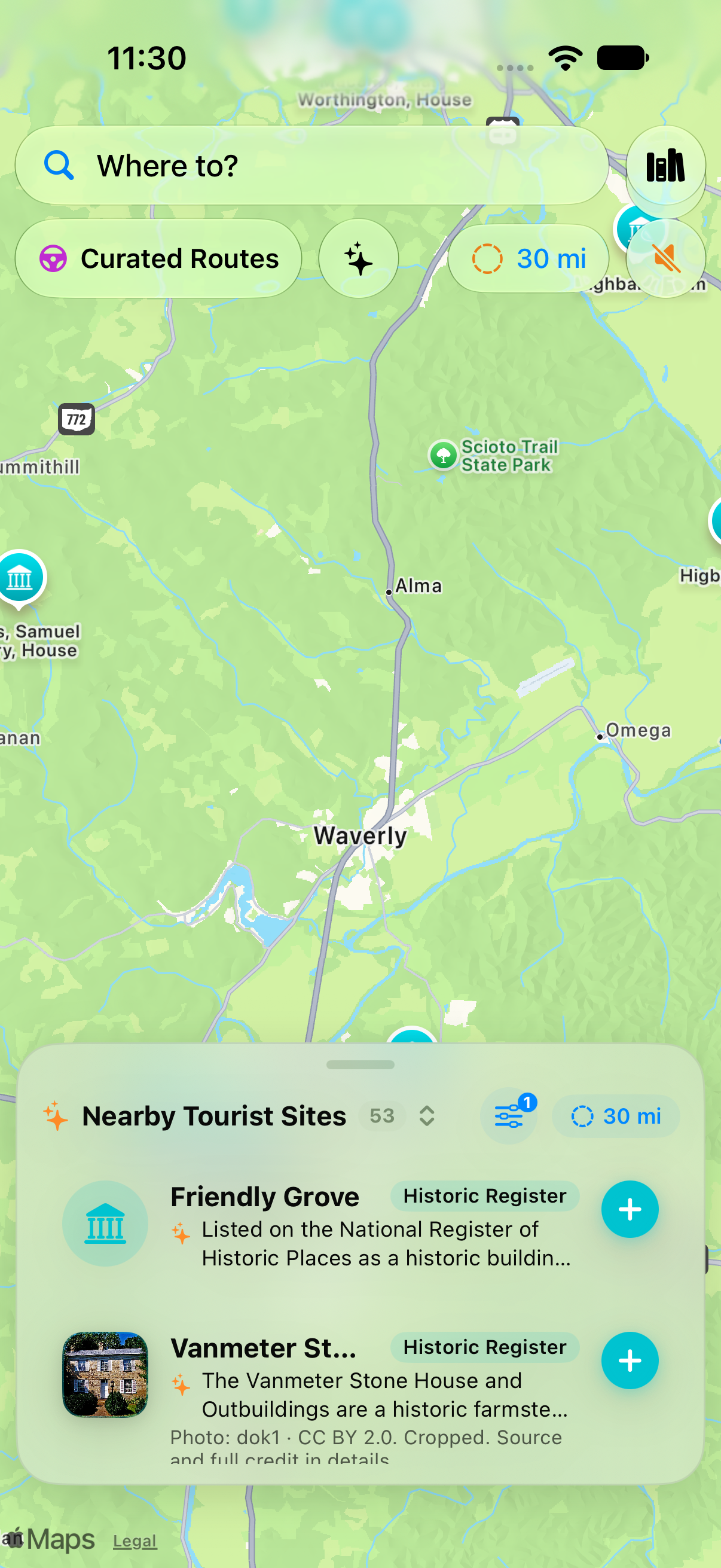
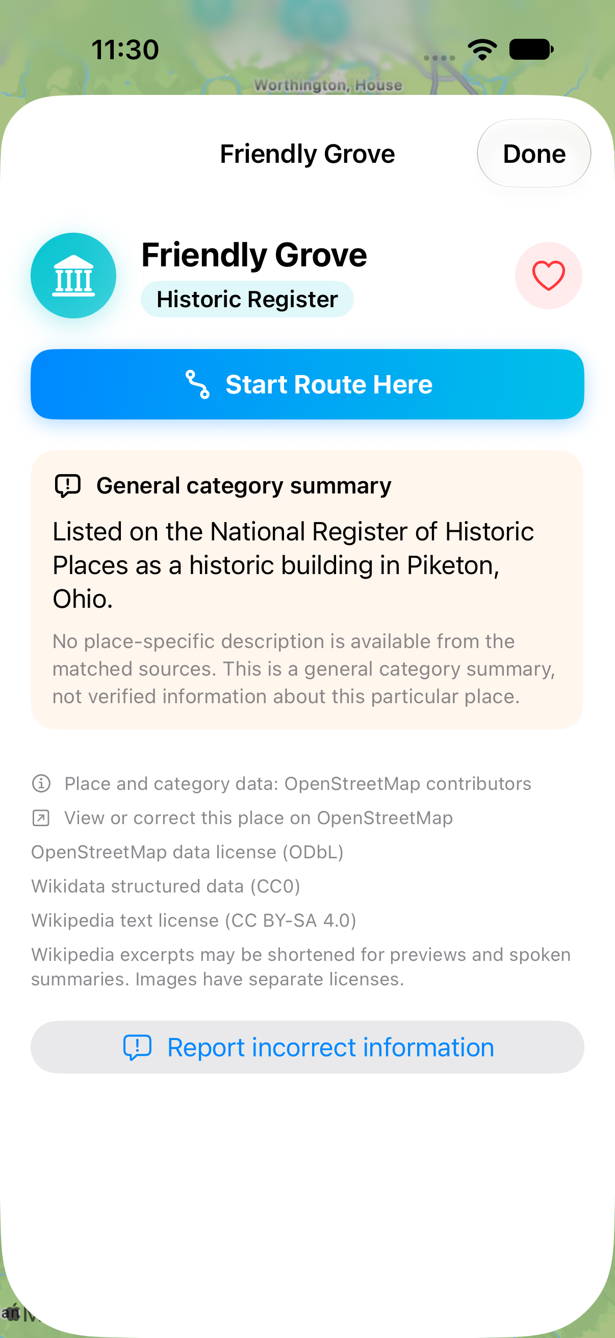
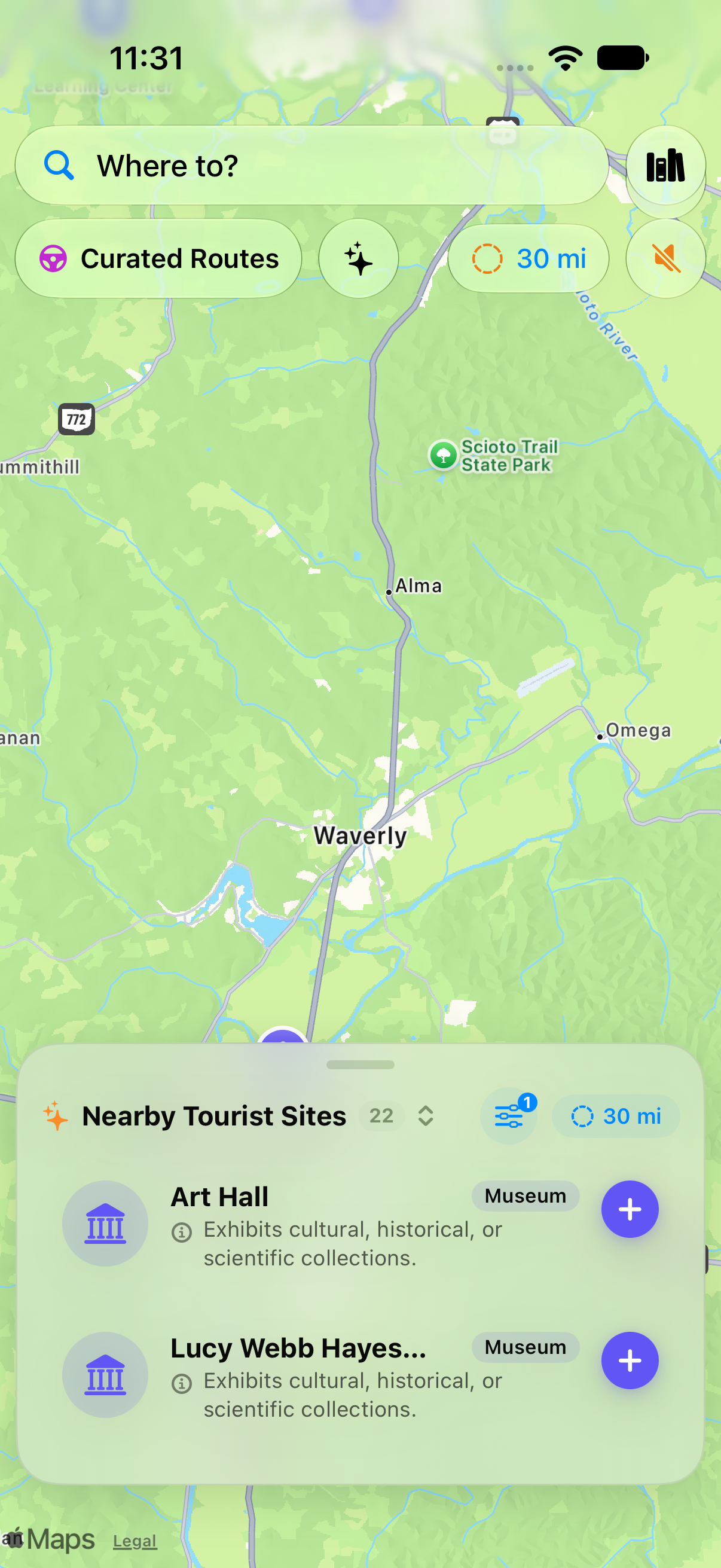
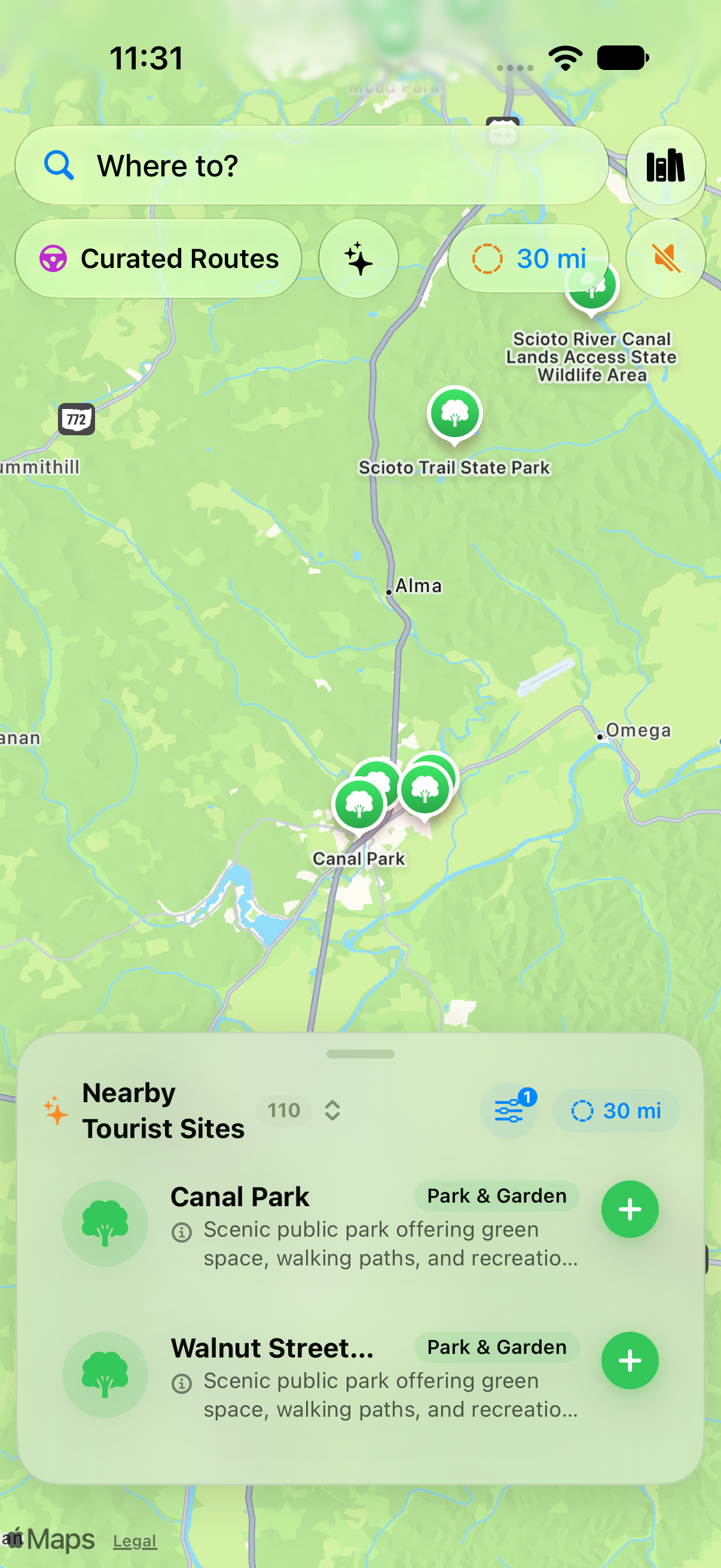
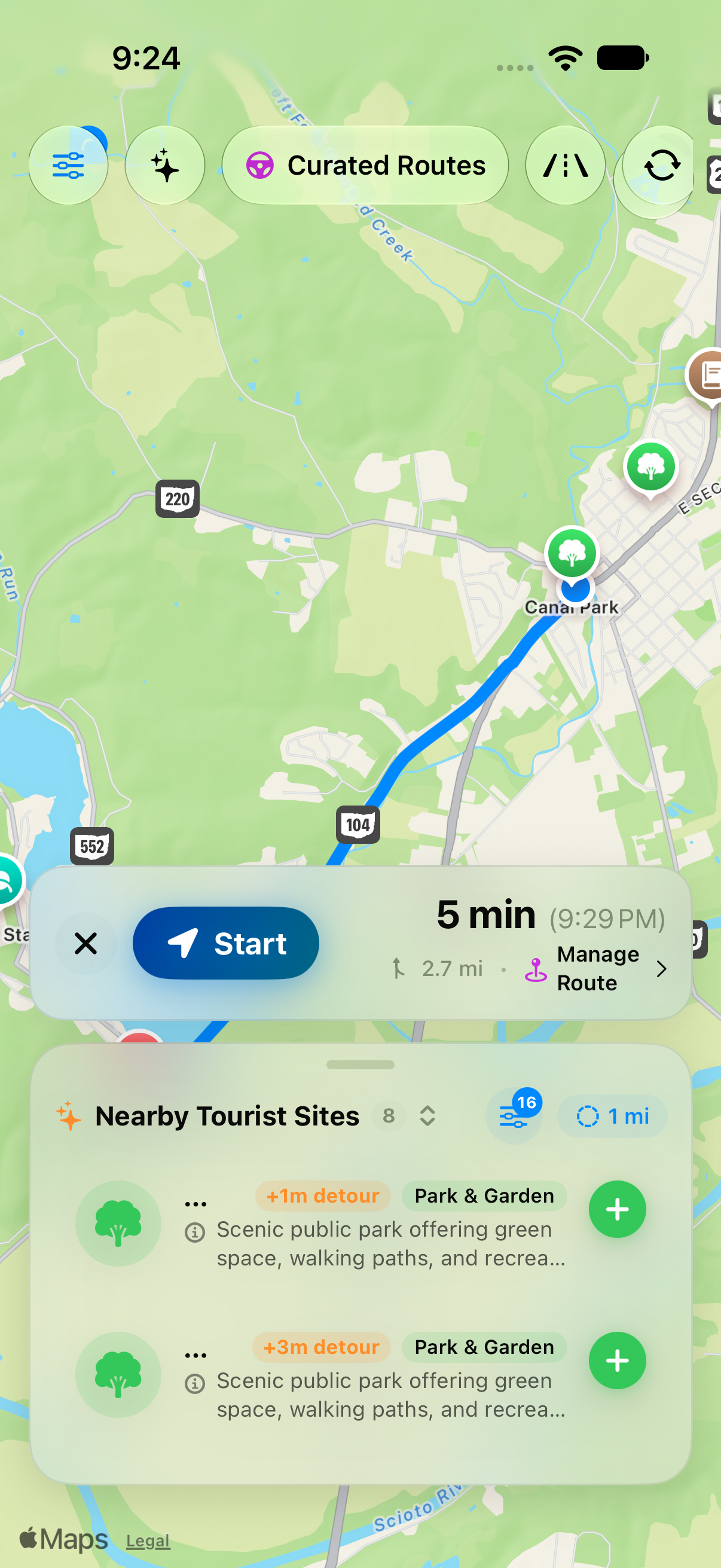
These screenshots demonstrate the app in and around Pike County—including regional searches (30-mile radius), category filtering across all 16 sightseeing categories, covered bridges, prehistoric earthworks (Piketon Mounds), National Register historic sites, area museums, parks, and route planning. Select an image to download its full-size PNG.
Map content and place imagery retain their original attributions. Please preserve visible source credits when using screenshots. These materials describe the beta; interface details may change.
